THE BUSH IS CALLING

Australia's offline 4WD & camping companion

138,000+ camps, fuel, water & places and 43,000+ 4WD tracks — on a map that works where the phone doesn't.

138k+places mapped
43k+4WD tracks
100%works offline
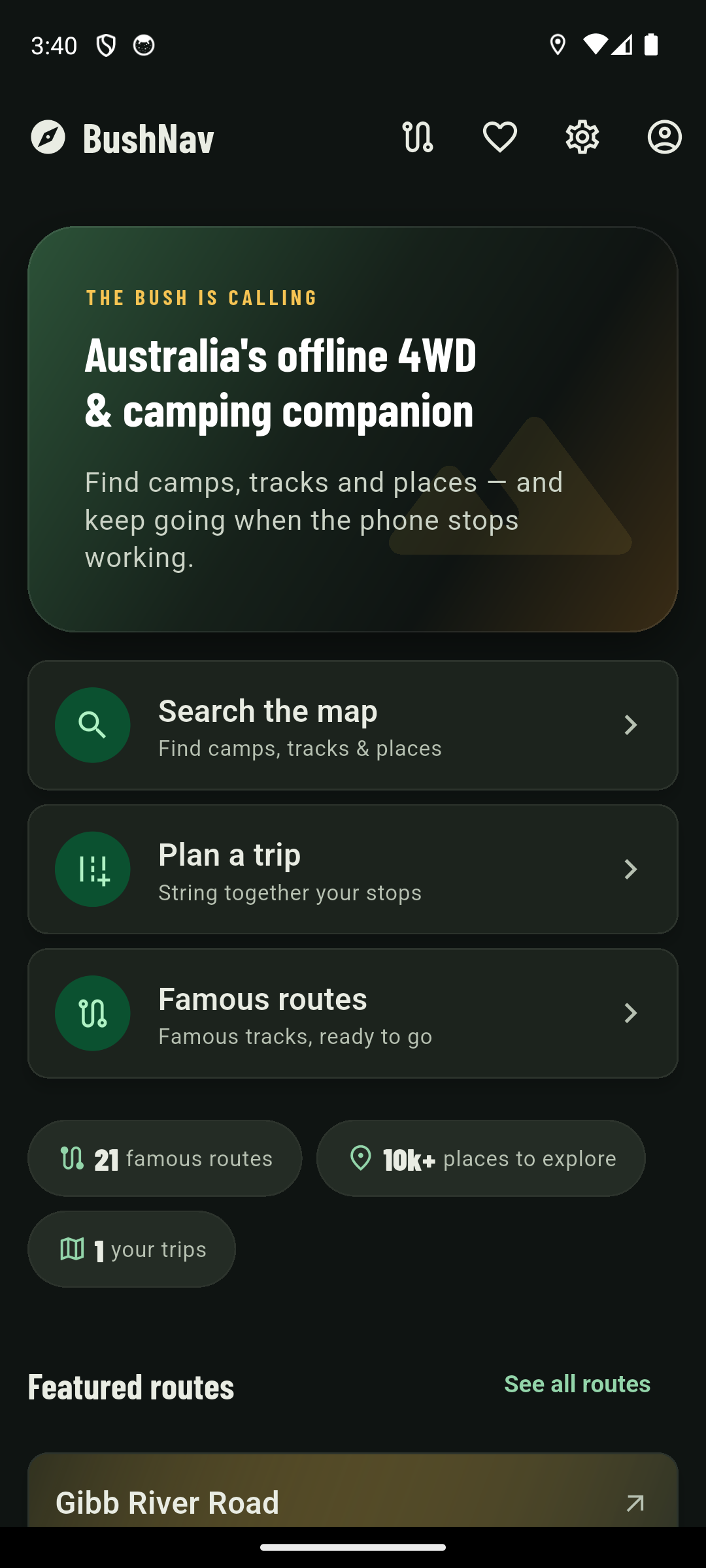
BushNav home screen showing search, trip planning and famous routes shortcuts, with 21 iconic routes and 10,000-plus places to explore

Everything you need, none of the reception

Replaces the maps app, the camping app, the tracks app and the GPS unit — one offline-first tool for getting out bush and back.

Offline-first maps

Download whole states before you lose signal. Navigate, search and plan with zero bars — the map never phones home.

BushNav settings screen showing Australia (all states) downloaded offline at 134.5 MB, with 138,541 POIs cached

43,000+ 4WD tracks

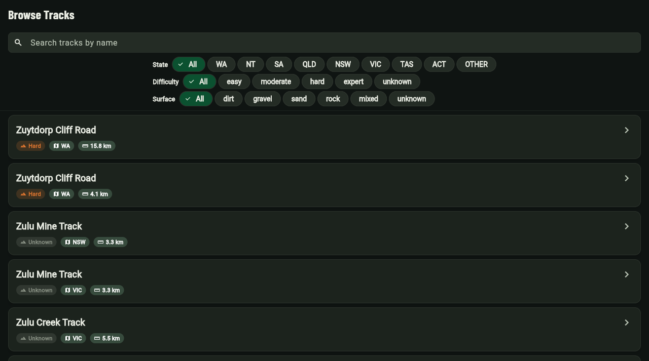
Every named track in Australia, searchable and filterable by difficulty, state and length — from easy touring to expert desert crossings.

BushNav web Browse Tracks screen with filters for state, difficulty and surface, listing tracks like Zuytdorp Cliff Road and Zulu Mine Track
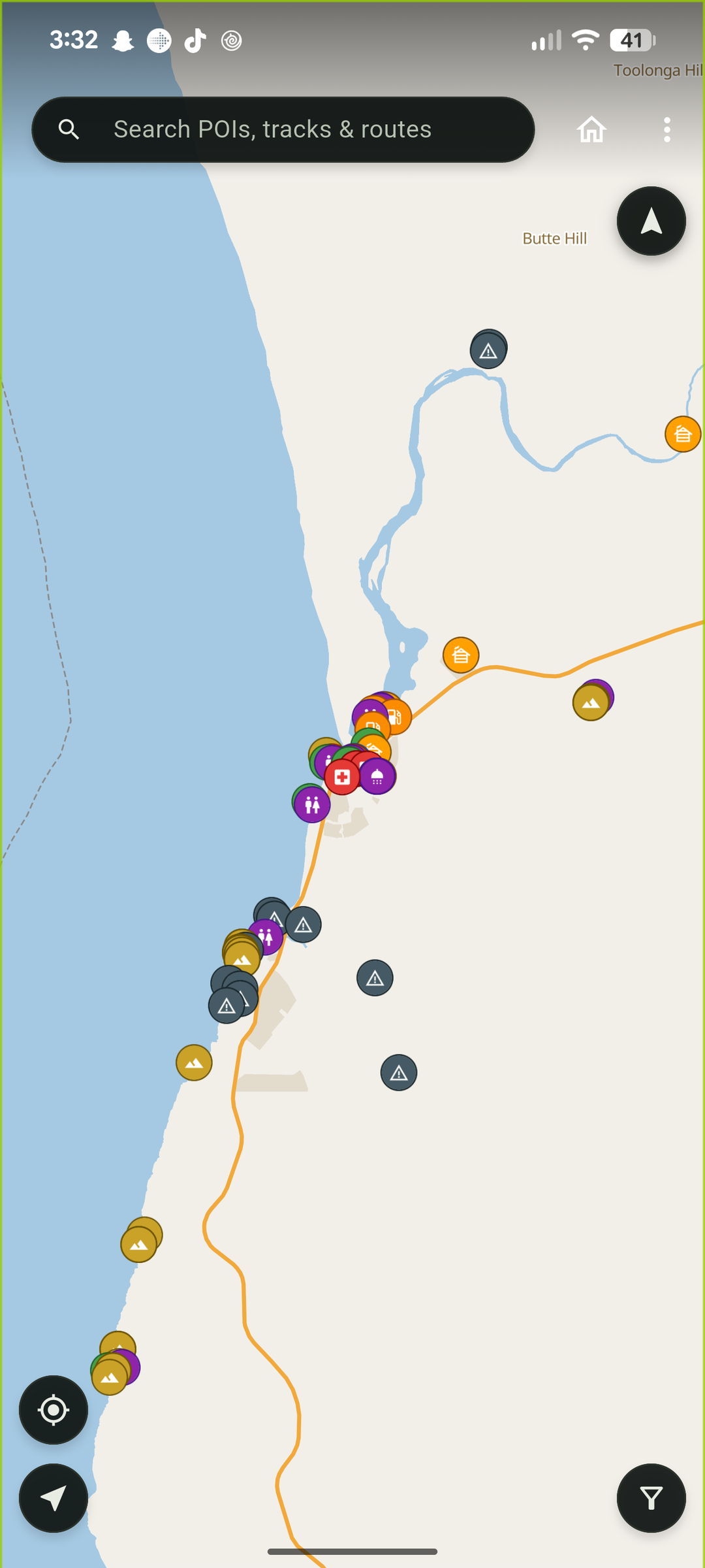
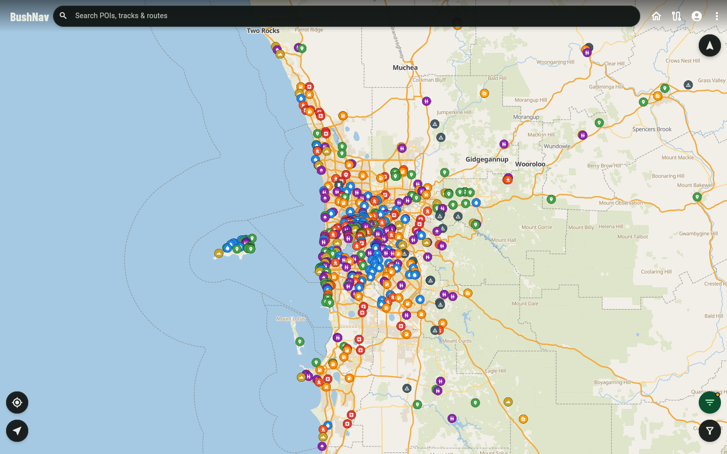
BushNav mobile map screen centred on a water point along the Fitzgerald River, with layer and add-POI controls

138,000+ places

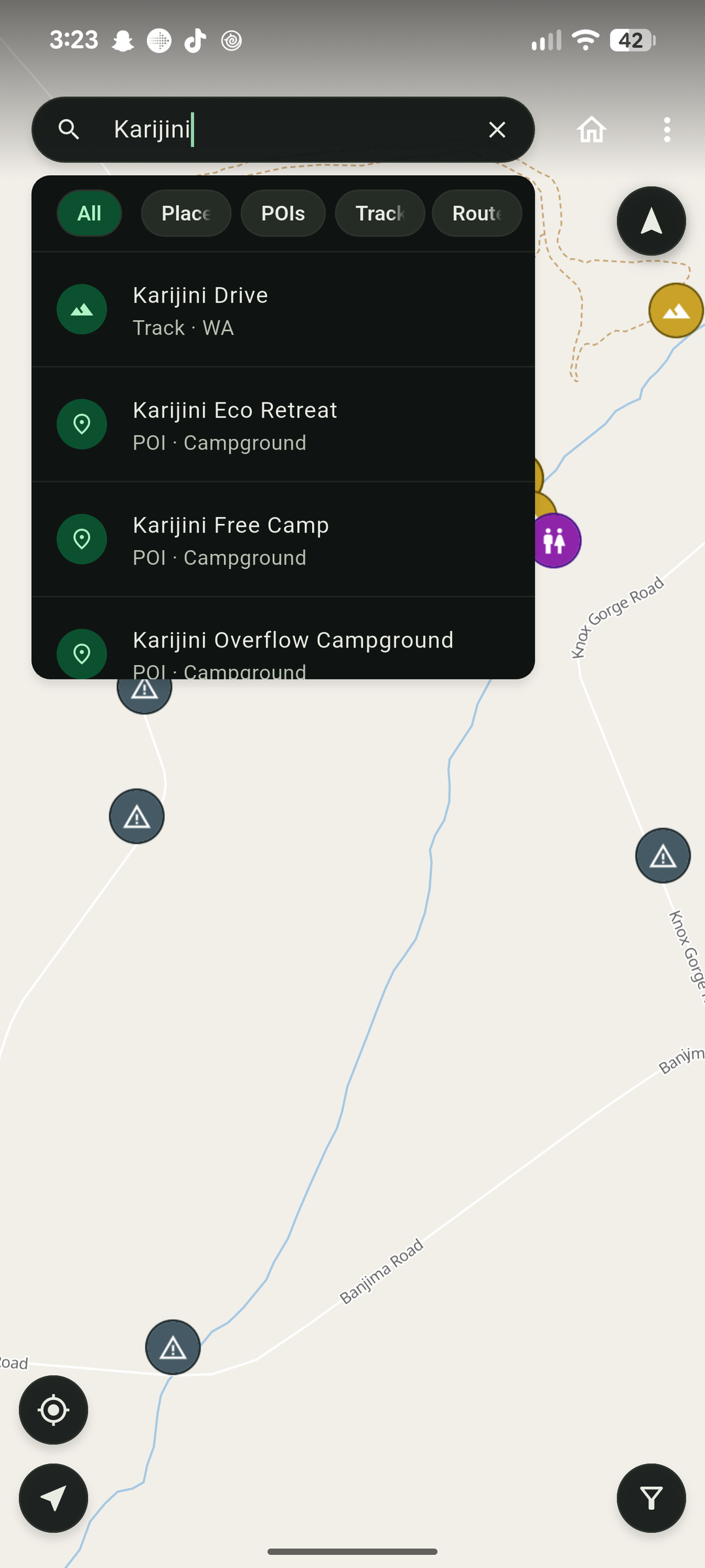
Camps, fuel, water, lookouts, springs and more — each with a description, so you know what you're driving into.

BushNav My Trips screen with a Plan your first trip prompt

Trip planning

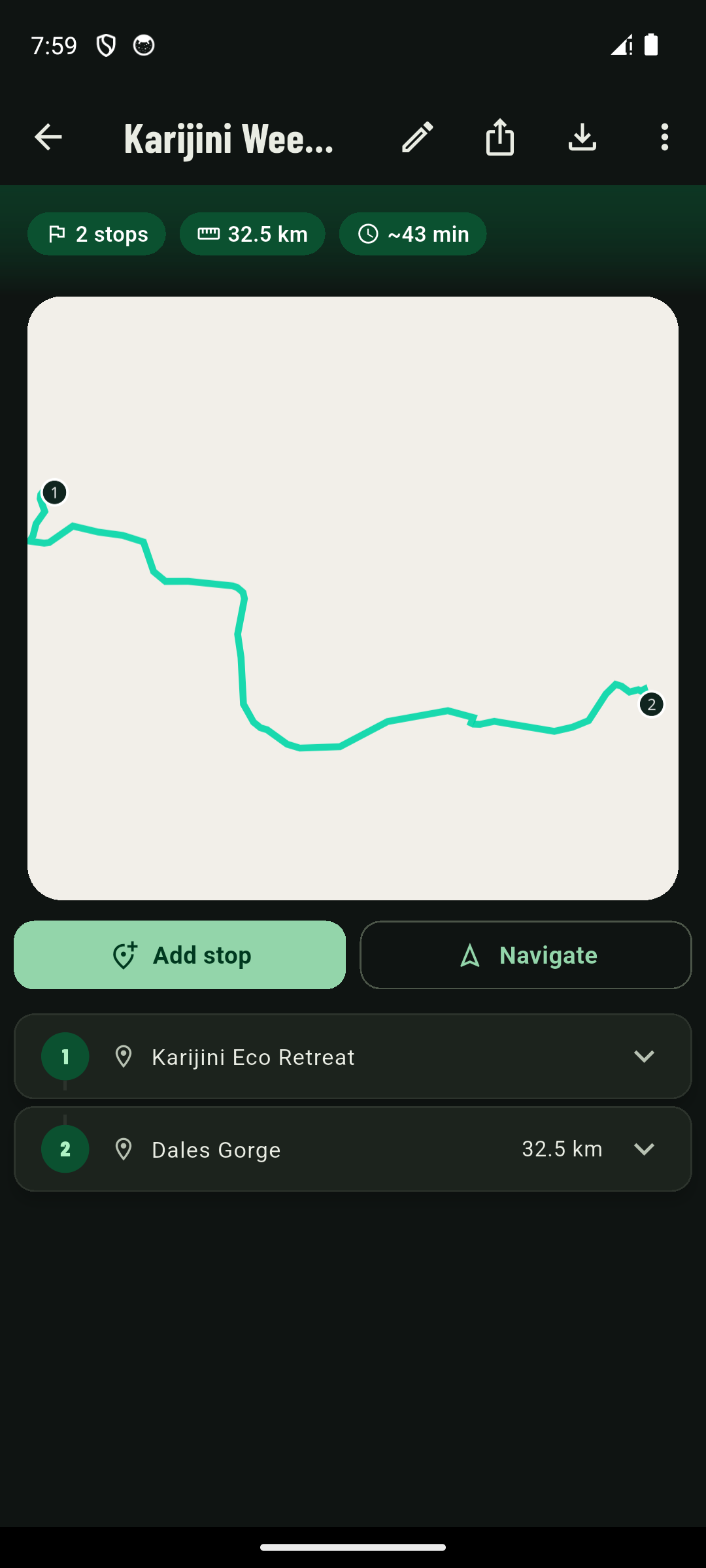
String stops together, reorder them, and take the plan into the bush — share a link so your mates know where you're headed.

BushNav trip recording screen with live distance, duration, average speed and elevation gain stats

Trip recording

Record your own tracks as you drive — distance, duration, speed and elevation gain, exportable as GPX when you're home.

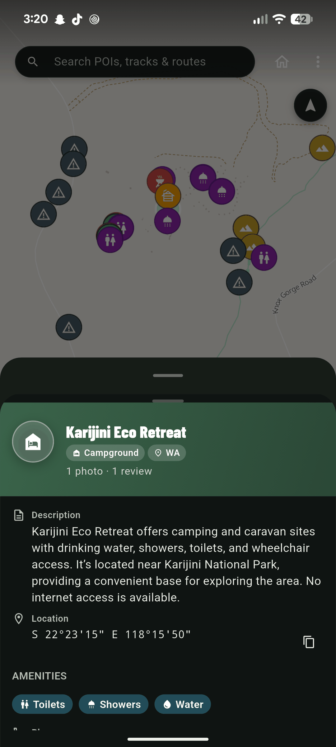
BushNav POI detail sheet for a water source, showing description, photos and reviews

Community

Reviews, photos and track conditions from people who've actually been there — and a way to flag it when something's changed.

Canning Stock Route. Anne Beadell. Talawana.
The legends, mapped.

Every named 4WD track in Australia, searchable and filterable — difficulty, state, length, and the story behind it.

  • Anne Beadell Highway Hard SA · 1,350 km
  • Binns Track Moderate NT · 2,100 km
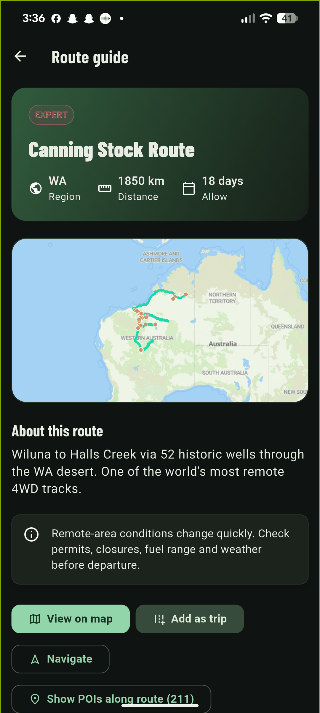
  • Canning Stock Route Expert WA · 1,850 km
  • Gibb River Road Moderate WA · 660 km
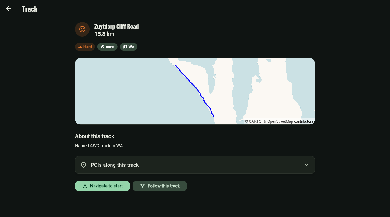
BushNav web track detail screen for Zuytdorp Cliff Road showing distance, difficulty and surface, with the route plotted on the map

Built for no signal

01

Download the pack

Grab a whole state's map and places before you leave the driveway. One download, no per-trip faffing.

02

Search & plan at home

Find your camps, string together a trip, and check track conditions while you've still got Wi-Fi.

03

Use it anywhere

Zero bars, zero worries. The map, the tracks and your trip are already on the phone.

On the phone, on the laptop, and everywhere in between.

Plan the trip at home on your laptop. Take it with you on the phone. Your trips, saved places and recordings sync between them automatically.

BushNav mobile app map screen showing a water POI along the Fitzgerald River BushNav mobile app POI detail sheet showing description, photos and reviews

On your phone

Offline maps, trip recording and GPS nav — everything works with zero bars.

BushNav web app home screen with search, trip planning and featured routes BushNav web app Browse Tracks screen with state, difficulty and surface filters

On the web

Plan on the big screen, browse 138,000+ places, and sync everywhere.

One price. No subscription nagging.

Browse the map free on web. Go Pro when you're ready to take it bush.

Free

$0

  • Browse the map on web
  • Search places & tracks
  • View famous routes
Browse the map
Most popular

BushNav Pro

$9.99 one-time

or $5/yr

  • Offline maps for all of Australia
  • All 43,000+ 4WD tracks
  • Trip planning & recording
  • Community reviews & photos
Get BushNav

Questions before you head out

The stuff people actually ask us.

Does it work without reception?

Yes — that's the whole point. Download a state's map pack once and the maps, 43,000+ tracks and your planned trip are all sitting on your phone. Zero bars, zero worries.

Is it just for 4WDs?

No — anyone who camps, drives remote or explores Australia gets value out of it: a 2WD on gravel roads, a campervan, a motorbike or a hiker on fire trails. That said, the track data and difficulty ratings are built with 4WDers front of mind.

How much does it cost?

Free to browse on the web. Going Pro is a one-time $9.99 (or $5/yr) and unlocks offline map packs, trip recording and everything on your phone.

Android, iPhone or web?

Android and web right now, with one account syncing your trips between the two. iPhone is coming — watch this space.

Where does the data come from?

OpenStreetMap — the same open data that powers maps used by millions worldwide — topped up with reviews, photos and track conditions from the BushNav community.

Can I share my trip with mates?

Yep — share a link and they can view your planned trip on the web, no account needed.

What's the offline map pack?

A one-time download (about 141 MB for the whole of Australia) of map tiles at the zoom levels you actually need, so the map stays at full detail with no signal at all.